

WILDFIRE · 2026
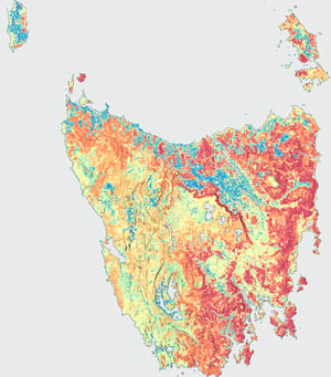
Tasmania Wildfire Index 2026
A statewide view of modelled wildfire conditions and building exposure to support long-term preparedness and planning.
REPORT ARCHIVE
Previous reports
View report
2025 Greater Hobart Bushfire Exposure Report
An annual assessment of bushfire exposure across Greater Hobart, supporting evidence-led planning and public understanding.
View report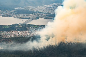
View report
2024 Greater Hobart Bushfire Exposure Report
The second annual snapshot of built-asset exposure to bushfire across Greater Hobart.
View report
View report
2023 Greater Hobart Bushfire Exposure Report
The inaugural Greater Hobart assessment, establishing a baseline view of bushfire exposure.
View report