

Model where flooding may occur and how inundation varies
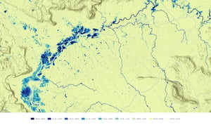
Combine terrain, rainfall, rivers, water bodies, land cover and hydrodynamic modelling to understand relative flood susceptibility, modelled inundation and flood depth across catchments, communities or larger regions.
Typical uses
Flood susceptibility mapping · inundation-depth screening · catchment analysis · scenario comparison
Identify which communities, buildings and infrastructure are exposed
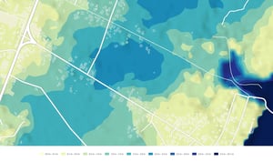
Combine modelled flood conditions with buildings, roads, utilities, settlements and other assets to understand where exposure is concentrated and compare locations consistently.
Typical uses
Building exposure · infrastructure exposure · community exposure · corridor and portfolio screening
Identify where flood exposure and vulnerability combine
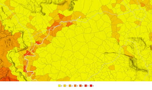
Bring together flood susceptibility, asset or community exposure and relevant vulnerability indicators to develop relative flood-risk measures and identify locations that may warrant closer attention or targeted action.
Typical uses
Flood-risk screening · vulnerability analysis · priority-area analysis · early-warning-system planning
Flood evidence for preparedness, infrastructure and planning
Public examples show how flood evidence can support preparedness, infrastructure and planning decisions.
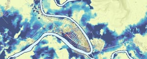
Combining hydrodynamic flood modelling with building exposure and village-level vulnerability to identify higher-risk locations and support early-warning-system planning.
Read case study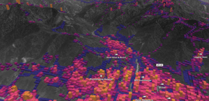
Combining flood and other hazard information with infrastructure data to identify locations requiring closer investigation and support infrastructure planning.
Read case study