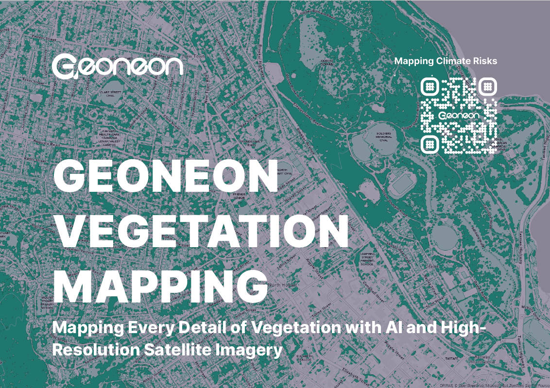
GEONEON VEGETATION MAPPING DATASHEET
GET YOUR DATASHEET NOW
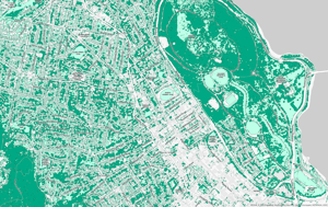
Discover the capabilities of Geoneon Vegetation Mapping. Our innovative approach combines the latest in AI technology with advanced satellite imagery to provide unparalleled accuracy in vegetation mapping.
Whether you're in urban planning, emergency services, agriculture, environmental conservation, or any field requiring precise land cover data, Geoneon is here to transform how you see the world.
Join the ranks of professionals enhancing their projects with Geoneon's data. Fill out the form to download your datasheet and see what Geoneon Vegetation Mapping can do for you.